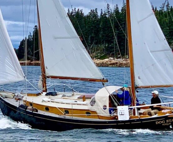
Maine dares you to try and love it. Daily life on the rugged Acadian coast is tide-scrabble hard. It is not a place for the timid or those who like to run around naked. To cruise your boat in these waters, you must earn your salt and prepare yourself to find challenges at every harbor entrance and change of tide.
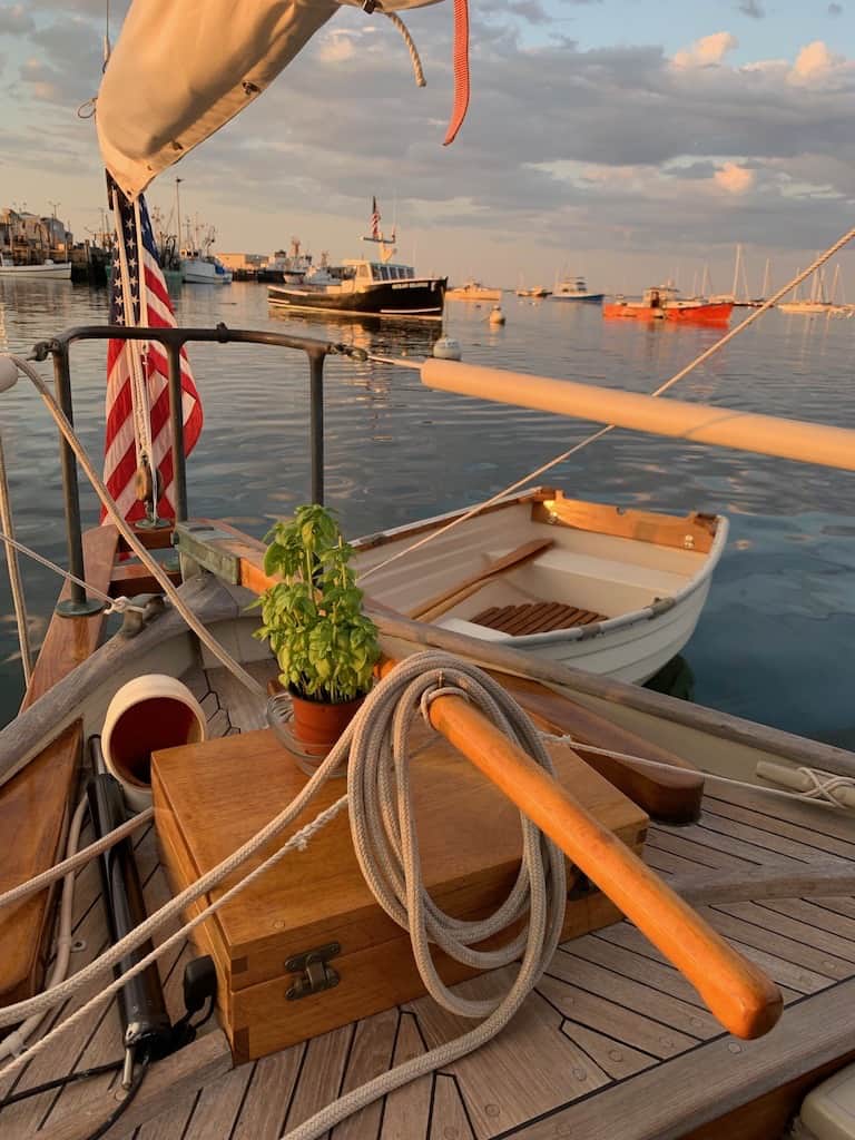
For those who find their way, Maine’s coastline is a life-altering voyage of experience that offers huge personal rewards and a no-nonsense proving ground for a cruising sailor. The many tests offered daily are formidable and manageable with good planning, proper care, and a sound boat to carry you there and back again. The most important takeaway from this voyage is the confidence gained by doing it well.
Geographically, Maine is the rest of New England, north of where the cartographers once wrote terra incognita (“unknown land”). Vikings reportedly found the whale-backed rocks and wind-worn cordgrass fields to their liking centuries before Columbus shipwrecked onto the tropical sands of the Bahamas. Henry David Thoreau called it “America’s Great Wilderness.” Maine is still chronically misunderstood. Those who sail here for fun are determined, resourceful, and stubborn. As with most things in life, hard-won lessons are the gold in the vein for any sailors willing to challenge themselves and their boats. Cruising the coast of Maine is an epic cruising opportunity with benefits that will last a lifetime.
A favorite joke I often share while waxing noxious with my enthusiasm for cruising Down East begins with the question: “What do you do in Maine in the summer?” The answer is: “If it comes on a weekend, we have a picnic.” This is a Mainer’s joke, and it demonstrates their self-deprecating manner of welcoming you to their world. It is understood that Maine has more homespun opinions per square mile than anywhere else on earth. Each Mainer you meet is as real as a silver dollar.
You learn quickly that Maine, like its homespun residents, offers a sailor no apology for the weather, the lobster pots, the unmuffled working boats leaving the harbor at dawn, or much else. The air here is reliably wet, overcast, and ruled by sharp winds. A hundred shades of bamboo thick fog curtain the coastal and inland byways. Stunted evergreens thickly settle the tops of ancient round hills, where shorelines drop down to slick gray granite ledges that are battered silly by relentless Atlantic rollers of cold purpose.
Due to this tapestry of formidable challenges, the few crisp, clear days of sailing on this sharp-fanged coastline, when the sun riots and all the worlds align, easily stand out in my mind as the most unforgettable moments of a long life spent around sailboats. A perfect clear-blue windy day in Maine etched in brilliance on a simple sailor’s brain is called a “sparkler.” This craggy coastline is a magical place where I have practiced the graceful art of cruising with family and friends for nearly fifty years, and I have barely scratched the surface of the endless possible options.
It is only two hundred and fifty air miles from the tip of Cape Cod to the Passamaquoddy Bay and Canadian territory. Yet the Gulf of Maine’s magnificent inter-tidal perimeter rolls out for over four and a half thousand coastal miles, including some three thousand islands. A large majority of them uninhabited. For most New England sailors, the distant goal of Roque Island, up near the town of Machias on the wild northern edges of our nation’s coastline at the mouth of the Bay of Fundy with its 25-foot tides, is still the cruising man’s Holy Grail of accomplishment. Not much has changed at Roque, as far as amenities for yachts, since the first “damn fool yachtsman and his flapper” sailed for summer fun past Schoodic Point heading just north of east and bound for the signature white crescent beach of this far off-island.
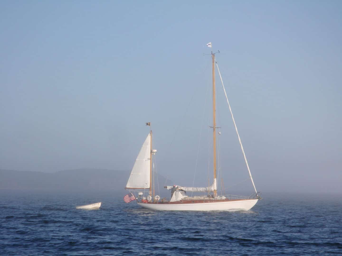
Over the past hundred years, the Cruising Club of America (CCA) has consistently emphasized its ongoing mission to promote and encourage the “adventurous and safe use of the seas.” The Club’s accomplished sailors and their boats all ascribe to Henry Wise Wood’s simple motto from 1923 “nowhere is too far.” Our volunteer-only membership views the Club’s key roles as being “to promote cruising…to encourage the development of cruising craft…to stimulate the development of seamanship, navigation, and the handling of small vessels.” And the Club strives to pass along these hard-won lessons earned across thousands of bluewater miles to other sailors heading offshore. The past and present members of the CCA are prime exemplars of the ocean sailing fraternity, and the treasure trove of their shared experiences is woven into the DNA of the organization.
The CCA also makes available to the boating public numerous resources to support their goals, including a lengthy list of noteworthy publications based on firsthand research and shared experiences. These items, available through the extensive website (cruisingclub.org), include “Safety for Cruising Couples” as well as the four hardbound cruising guides to Nova Scotia, Newfoundland, Gulf of St. Lawrence, and Labrador. The Safety and Seamanship section of the CCA website also offers a broad range of free online publications and in-depth informational how-to articles, along with announcements of hands-on local seminars for honing cruising skills and creating a resolute culture of safety aboard your boat. All are welcome to hop online and make use of these comprehensive and valuable resources.
This new CCA online cruising site is designed to supplement timely anecdotal information complimenting the many all-inclusive noteworthy guidebooks, including A Cruising Guide to the Maine Coast (authored by Hank & Jan Taft and Curtis Rindlaub). It underscores that Maine must be taken very seriously if one is to explore safely the life-changing opportunities found along its coastline. Preparation beforehand is the fundamental basis for success. Our cruising narratives will provide you with the authoritative blueprint necessary for navigating this coast with the very latest information available from a host of sources that are actively plying these waters each summer season. Knowing what to expect as you round the next headland and navigate confidently towards safe harbor is the key to making competent and effective decisions for your crew and your boat. This detailed guide will afford you the planning tools you need to explore Maine’s many distinctive and colorful ports of interest, all without unnecessary or unplanned surprises.
The many pieces of any captain’s navigational puzzle include the multiple daily variables of double-digit tides, erratic currents, challenges galore in the visibility department, a confusing mattress of free-flowing fields of underwater prop-stopping lobster gear known colloquially as “traps,” and any dependable expectation of any reliable good luck in resolving mistakes. All prudent sailors-in-charge must add to this intimidating list their own nervous crew, who should keep the ship’s articles for mutiny safely tucked into their back pockets when the inevitable problems arise. Navigation in these waters begins with a sound assessment of the likely problems you will surely face when you explore Down East. Get to know the devils you will certainly meet long before you are forced to wrestle them into submission. Learn all you can of the many basic coping strategies so that you can even up the playing field ahead of time. Failure to plan is planning to fail.
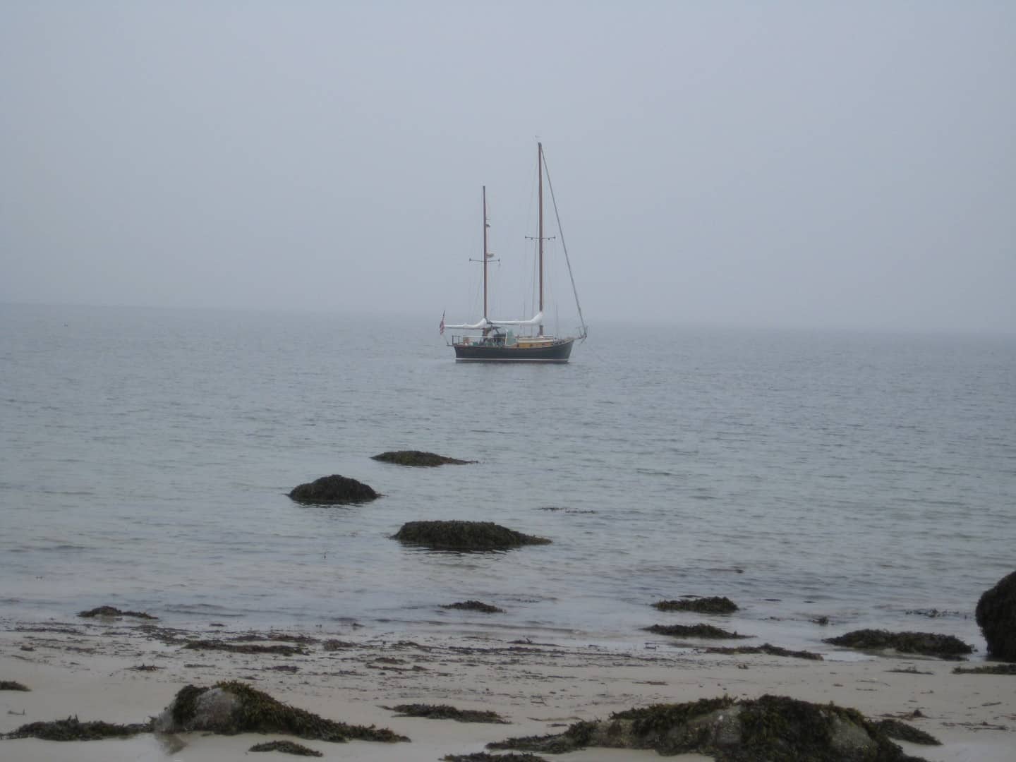
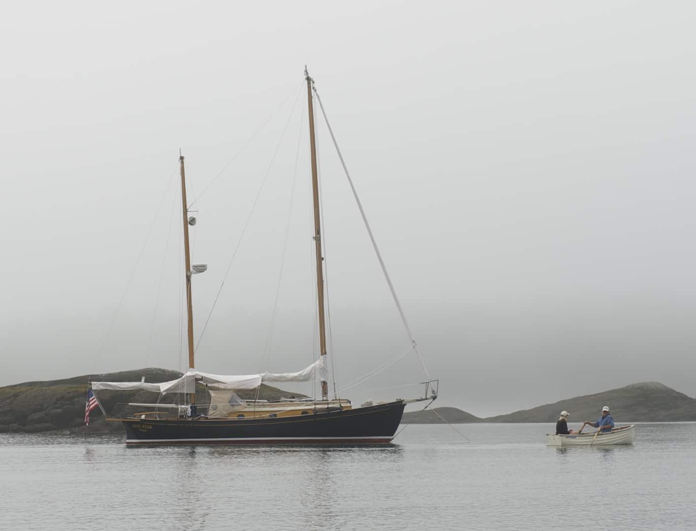
Fog is a fact of life in Maine. It is a stealthy boogeyman that often slinks around after midnight but can just as easily poke your eyes out in a blink on a sunny afternoon’s sail with the grandkids. You don’t win against fog. Prudent and experienced sailors use the latest technology, including a reliable compass, loud air horns, radar reflectors up in the rigging, and rely on all the modern miracles of chart plotters, AIS, and radar to ease some small portion of their anxiety. When a Mainer casually remarks during a beautiful sunset that “the fog could be a might thick come mornin’,” it is best to plan a dockside activity until you can plainly see the top of the nearest church steeple. Fog is not demonically determined to do you harm; it simply doesn’t care. Sailors tend to find this simple organic fact to be most unsettling when lost inside a “brick” of the stuff. Hone your entire crew’s skills with your boat’s navigational instruments. Learn when the sun still shines just how to use the information gathered by the slow sweeping arm of the radar display, when you can actually see and understand the dangers it is painting and their relationship to your reality. Practice the arts of patience, common sense, and learn to see what else is useful and critically important with your eyes wide shut. Keep in mind that the factoring in sounds, smells, and wind shifts, alongside raw instinct sprinkled with an inherently cautious outlook, is all necessary for a cruising sailor in Maine.
Tides and Currents are often counterintuitive and demand an open mind and a hefty safety factor built into any course you choose between waypoints. Tides increase as you move west to east along the coast from barely double digits to a full twenty feet at Calais. Twice a day, the narrow bays and river mouths flush the seascape with currents occasionally running to four knots. An hour of sailing with a running tide on your beam could put your destination a mile to one side or the other of your planned rhumb line. All of this is compounded by the sobering fact that steep granite shelves on headlands can have your bowsprit in a fir tree while your depth sounder still reads thirty feet. My cruising friends describe sailing in these waters as providing “daily survival opportunities of the finest kind.”
Anchoring in these waters demands close attention to the water under your keel through at least one full tidal cycle. Pay close heed to calculate the length of adequate scope swing room necessary to hold you in one place and continue floating when the winds make you dance in the early morning. And keep in mind that minus (spring) tides bring waters lower than the mean-low depths shown on the charts.
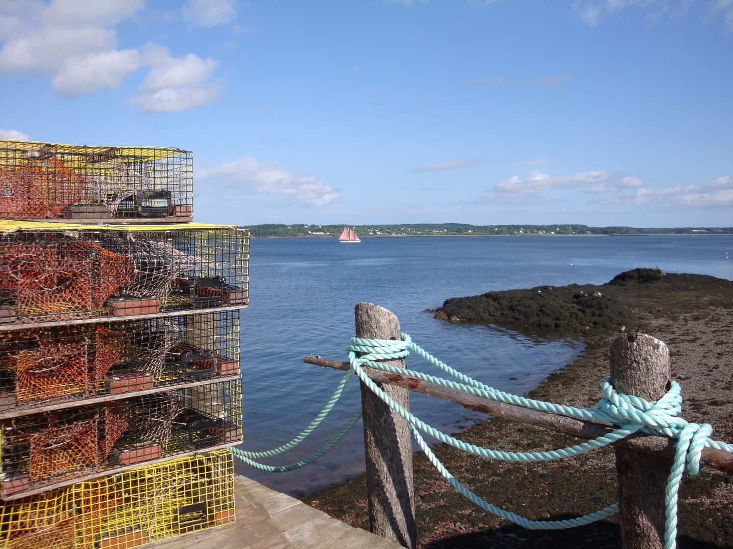
Lobster Buoys and the boats that service them are a constant and prolific aspect of life on this coast. No quantity of derisive epithets will change the simple fact that every square inch of navigable ocean water in Maine is open to this fishery. It also seems that many of the sweetest spots for catching crustaceans are found in the few deep-keel-safe and extremely narrow navigable passages between unforgiving granite islands. Stay alert and steer carefully unless you relish swimming in bone-numbing waters to free up your prop. The kindest remark I often make about the “traps” is that they are the trusted telltales that indicate the direction and intensity of the cross-currents hiding along your path. Yet, strong winds blowing against current skew the information available, and then nothing besides divine intervention will work. Sometimes you simply are forced to accept that there is no clear way through and hope for the best. A good thing to remember is that most traps have two floats. One line connects the multicolored banded ownership float to the lobster cage on the bottom, and the other, a single-color smaller float called a “toggle,” is attached to the main line ten to fifteen feet from the main float. This arrangement creates a loop of warp just beneath the surface, which is usually the culprit responsible when your prop is fouled. As you dry off and get warm, remember that this hazard is but a small price to pay for cruising these epic and pristine waters.
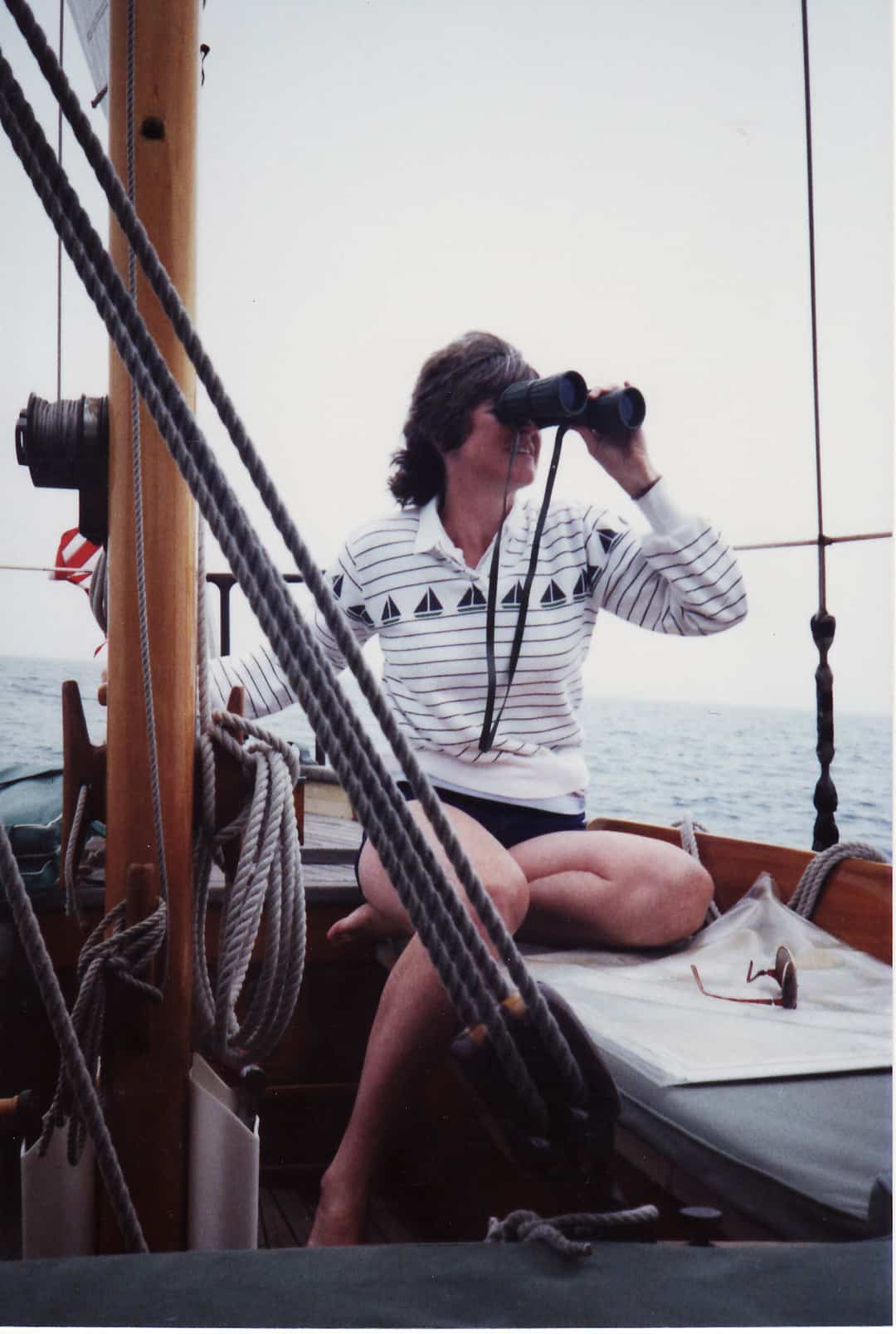
Wind and Weather are generally consistent with the high-pressure patterns of summer throughout New England. The large majority of sustained seasonal winds will come from the southwest, and they tend to build throughout each day with the onshore breeze. Most afternoons will be a blustery twenty knots flowing up into the bays and around the headlands. On the other hand, low pressure systems will generate northeast to southeast winds, often with a cold chill and challenging sailing as the wind bends and accelerates around each headland you venture to double. August and September are the most dependable sailing months with the least amount of fog. The occasional strong summer easterly blow should be given all due respect, and often prompts a day or two of shoreside activities in one of Maine’s celebrated harbors.
Planning Your Cruise requires an honest assessment of your boat’s, your crew’s, and your own readiness to accept the very real challenges ahead. Departing from Cape Cod offers several possible passages, ideally with the wind behind you. Head for Casco Bay, or plan an overnight trip with landfall at Monhegan Island (with its 20-mile light). When heading home, you might then deftly use the outer islands and narrow thoroughfares to daily work your way west and south back to your home waters, proceeding methodically day by day. A caution I would offer would be to focus your limited number of days in Maine on a single portion of the coast (e.g., Penobscot Bay). For all the reasons discussed above, planning long miles and building tight schedules is a bet against the odds you don’t want to make.
Hiking Maine’s coastal areas is another challenge that provides a full spectrum of opportunities -- from the splendid carriage trails of Acadia National Park on Mount Desert -- to the many wilderness areas, state parks, and bird sanctuaries that are added draws to anchor in Islesboro, Isle au Haut, Great Wass, Belfast, Jewell Island, Camden, and Blue Hill, to name only a few. The Maine Island Trail Association (MITA) offers a complete guide to 255 sites spread across the entire breadth of the coast. The MITA Guide and MITA App offer detailed information and guidelines for accessing all 255 sites of the Maine Island Trail, some of which offer hiking trails. The Guide and App are available to MITA members, and people can join instantly at mita.org/join. This Guide offers two itineraries for dedicated hikers: Portland to Penobscot Bay and Camden to Cutler.
Bring your daypacks and trail shoes along to enjoy the opportunities around every headland. Also worthy of special attention, Maine Coast Heritage Trust (MCHT) now holds more than 300 easements and owns and cares for more than 120 preserves that are free and open to the public—and those numbers grow every year. Their preserves range from waterfront pocket parks to vast forests, from wild islands to community garden spaces. These special places are here for you to enjoy, thanks to the generosity of thousands of donors. Their website provides detailed maps showing access points and hiking trails at many preserves. www.mcht.org/visit-a-preserve/.
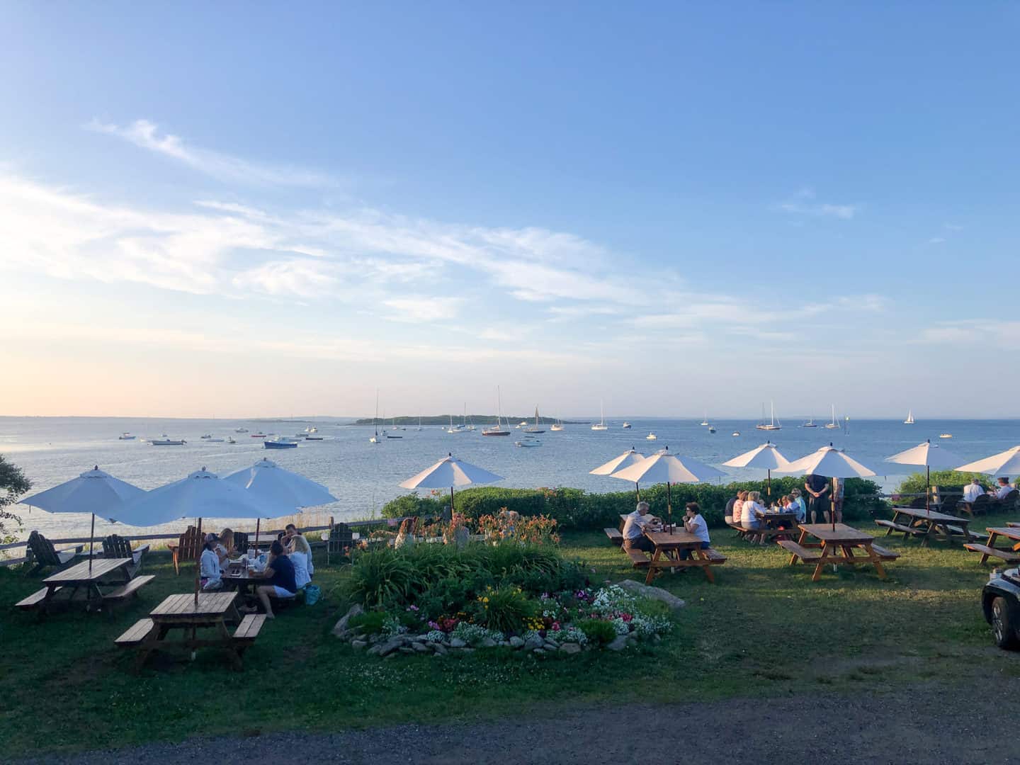
The Maine coast is a complete, classical symphony of collective melodies and harmonies, one that can only be truly appreciated via the acoustics offered by its wide and grand stage. The different moods, tempos, and tones of any cruise inspire a complex opus that sailors conduct with moments of startling and inspired surprises rising above the safe, dependable rhythms of tides, pines, and granite. The burping tuba of Bar Harbor and the crystal-clear ding of the triangle chime of the Mud Hole ringing your heart are all parts of the same immense orchestra’s interaction and playful sparing. Each unique contributor has earned their rightful place in the movement. Blending and weaving the delicate interactions of the differing disciplines, sections, sonatas, and multiple instruments into a rich harmony is your Maine job.
The overture begins the second you round the whale-backed Isle of Shoals and journey up the Piscataqua River towards Portsmouth to find Pepperell Cove and Kittery, the southernmost coastal town in Maine. The next forty-plus miles are a monotonous drawing of a horsehair bow across a single cello string. The long stretch of low beach and flat land extending far to the west all the way to Mount Washington offers extremely few accessible harbors and only the promising hint on the misty horizon ahead of a change in topography. This can be a vexing passage, and I have had my share of misery grinding out these miles as the chop becomes roiling four-foot seas that always seem to throw snot in your face regardless of their direction. The welcome tiny nook of Biddeford Pool introduces you quickly to strong tidal currents and skinny water under your keel at low spring tide. Get used to it.
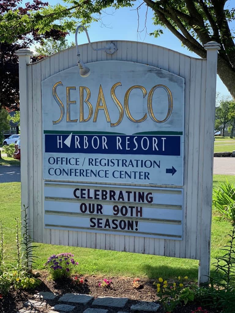
Casco Bay raises its own curtain just past Cape Elizabeth at the entrance to Portland Harbor. You need only take a hard right turn, and twenty sea miles further ahead will have you rounding Cape Small. But this is the allegro, the opening to the core homespun musical experience of Maine. And it is a heartbeat presto introduction to the broad depth of real estate that exists up the tributaries that empty relentlessly into the Atlantic Ocean along this portion of the coast. Falmouth Foreside, South Freeport (with L.L.Bean), Jewell Island, The Basin, and Sebasco Harbor Resort are all worth the winding paths inland to their doors. A hundred small islands dot the narrow channels and waterways, and each has a story of our American heritage to tell.
Leaving Cape Small astern, you are in a world of huge and powerful tidal rivers, including the mighty Kennebec and the 180-foot lighthouse at Seguin Island that has been guarding this approach for more than two hundred years. George Washington signed the deed. Best known along this part of the coast is the Sheepscot River area and the centerpiece of Boothbay Harbor, with its big world of services and tourist attractions. The Mid-Coast collage of small towns and navigable rivers is the rolling drumbeat of a working waterfront from a bygone era. The pace is slow and the competence level for living enjoyably with what you have is far above average. If you have a nagging problem on your boat that can’t be solved with new technology or looking for something store-bought, you will likely find a more noble solution here. Just ask.
As you traverse Muscongus Bay and reach up past Port Clyde you begin to hear the string section building up their bass level and volume. By the time you reach Tenants Harbor and its square lighthouse entrance, the slow cadence of andante begins to electrify and the tempo picks up. You know that tomorrow you will likely thread your boat through the always-a-handful Muscle Ridge Channel and exit at Owls Head Light into Penobscot Bay. Only violins can offer musical justice to the wondrous playground that now stretches off your bow all the way up-bay to Castine and Belfast. In between those goals, you have Rockland, Camden, and the Fox Island Thorofare with Vinalhaven, North Haven islands, and Islesboro, to mention only the key names in a playground richer than you can imagine or fully appreciate in a lifetime. Each island is worth your effort to visit. Pay attention to the tides and the telltale toggles in the thick of a fog, and don’t go down-bay late in the day if you can help it. Leave early, anchor by noon. Use plenty of scope. Listen to the islands move, and the water stay in place. Enjoy.
Heading nearly due east across Jericho Bay towards the Deer Isle Thorofare you sense the vibrations in the background music changing the mood once again. Stonington means business. You will hear reveling echoes from the horn section. This is a no-nonsense working town harvesting cash and profits from the lobster trade. In a different era, granite was the crop. The rusting cranes and discarded artifacts of the stone cutting and quarry work across the channel were left behind from past generations. The winding and narrow thorofare, dodging and ducking barrier islands and granite shelves on the way to Blue Hill Bay and Mount Desert Island, is ironically named Merchant Row and many local boaters act the Gatsby role. Keep a close eye on the charts. The path is complicated and current-swept, with observed local knowledge suggesting possible foolish shortcuts. Tip your hat as gracefully as you can manage while you roll in a purpose-driven wake of ownership that rocks your boat’s sole to the gunnels. They will all tip back.
Now high ground appears on the horizon and the woodwinds join the fray, bringing to the melody a more gentile and timelier tonal theme from the black and white world of our grandparents. Acadia National Park on Mount Desert Island is one of our nation’s authentic treasures donated by our citizens for the enjoyment of all. Blue Hill Bay forms the perfect magical reflection pool and transitional steppingstone for cruisers eager to embrace the past. Prepare to be sobered and impressed by a century or more of earned nostalgia while wallowing in this iconic island’s exceptional history. Southwest, Northeast, Seal, Bar and Somes Sound are all havens of our sailing history now bustling with the future. Don’t miss a one of them on your tour. Take advantage of the free public buses that link the treasures. Eat ice cream. Slow down.
Once you cross Frenchman’s Bay heading just north of east, you are open to the full assault of all that is the rest and best of Maine. This is where the kettle drums begin to roll and the instruments swell to a fortissimo pitch. Comfort is left behind at Schoodic Point and ahead lies unknown territory even if you have been Down East before. Roque Island has long played a central part of my family’s decades of cruising life which I celebrated in the memoir Bound for Roque Island: Sailing Maine and the World. This far-off sand beach draws those who have earned their confidence with the experiences and lessons in their wake. Mud Hole, Great Wass, Jonesport, and Cutler are mythical destinations even for most Mainers. Once you have been to Roque, nothing else will do. Tread lightly, respect the place with the caution it deserves, and know that you will never forget the experience.
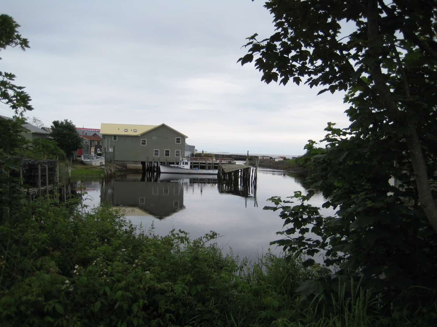
Maine is waiting for you to bring your own expectations and love of cruising aboard your boat to her nooks and crannies. Magic is to be had everywhere you look. You will take away from this challenging experience a shared commitment with all sailors to the competence demanded when cruising safely to far-off destinations. The gold in the vein of the effort is what you will gain in skills from navigating a wild, unpredictable coast. You will never regret demanding the best from yourself, your crew, and your boat.
When you first nod at waking in Camden Harbor before the big wooden schooners start to rustle about, and you hear that lonely three-pitched lament of a loon open the day -- without a single ripple on the water to muffle the experience -- you will begin to appreciate the essence and the modern necessity of coastal Maine in our cruising world. The Cruising Club of America encourages you to do your part to cruise fearlessly and relentlessly to beautiful places, leave nothing in your wake but worthwhile memories, and make “adventurous and safe use of the seas.”
R. J. Rubadeau

