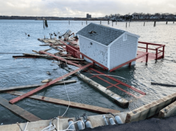
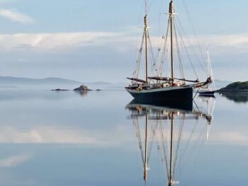
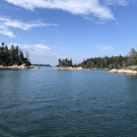
Resources for Cruisers in Maine
Tides and Weather from US Harbors
A leading source in detailed information for every US Harbor in the America also has a map of all the Tides and Weather along the coast of Maine.
Windy and Weather Forecasts
Windy is a great resource for pinpointing wind direction and speed with accompanying forecasts for every spot.
Marine Traffic
Find out where other boats are with boats transmitting their location via the AIS (Automatic Identification System). The AIS-Receiving stations that comprise the MarineTraffic network pick-up such data and share it with the MarineTraffic central database.
Maine Trails
Maine Trail Finder is a free, interactive mapping site designed to help Maine residents and visitors find hiking, walking, snowshoeing, mountain biking, cross-country skiing, and paddling trails across the state.
Acadia National Park
The majority of the 47,000 National Park acres encompass Mount Desert Island but portions of the park are on the Schoodic Peninsula and Isle au Haut. It’s the perfect outdoor playground full of hikes and places to explore.
Maine Island Trail Association
MITA is a membership organization dedicated to the protection and enjoyment of the wild islands of coastal Maine. MITA members include paddlers, powerboaters, sailors and non-boaters alike. Members receive comprehensive information about the Trail, helpful tips for safe and responsible boating, and guidelines for low-impact recreation. You can join them to become a part of this inspiring group of enthusiasts and advocates who love the wild islands of Maine.
Maine Coast Heritage Trust
Maine Coast Heritage Trust (MCHT) is a nonprofit land conservation organization protecting and caring for vital lands on the coast of Maine. Through the generosity of donors, MCHT has made an extraordinary impact since its founding in 1970, working with partners to protect over 170,000 acres and 330 islands, including over 150 MCHT public preserves offering over 100 miles of hiking trails.
Safety Resources from the Cruising Club of America for Cruisers
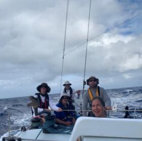
Safety and Seamanship
After thousands of miles and places visited, many of our members take a moment to share what they have learned. We offer the articles and courses for cruisers of all types.
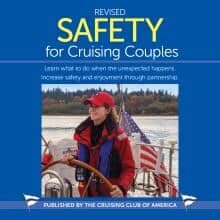
Cruising with Couples
The book is aimed at the less-experienced crewmember and promotes partnership and teamwork between skipper and crew to ensure they can handle an emergency on their own boat.
Environment of the Sea
As members of the CCA, we sail and explore the oceans of the world with a spirit of adventure and a strong sense of stewardship for the oceans we love. We are looking to be a part of the solution.
Tips for Cruisers In Maine