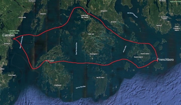
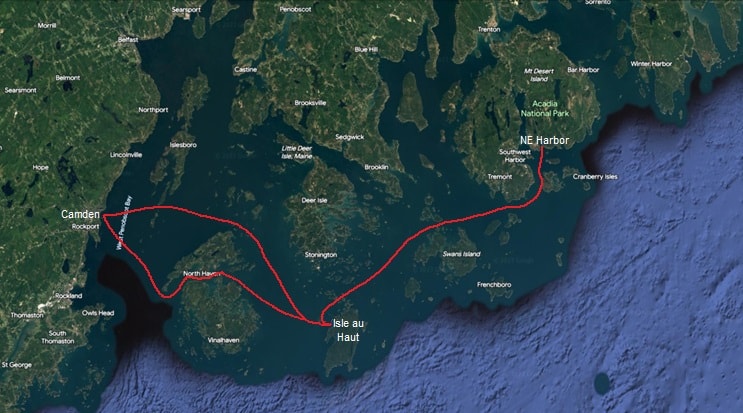
Hiker’s Cruise: Camden to Cutler
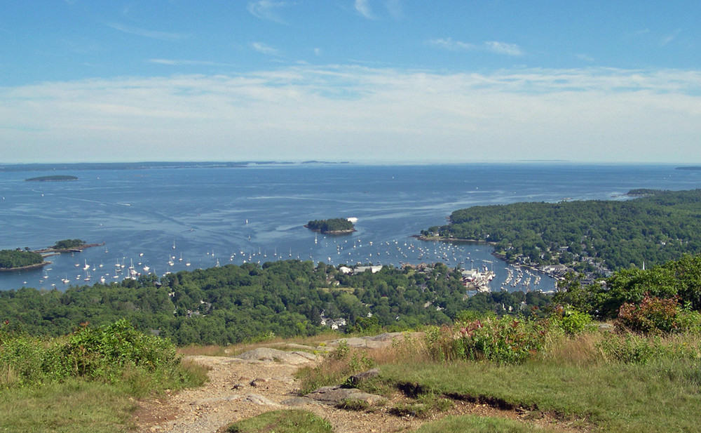
Day 1: Camden
Distance: 0 miles
Provision, dine out, and enjoy the many hiking opportunities including the trails in Camden Hills State Park, the properties of Coastal Mountains Land Trust, and Maine Coast Heritage Trust’s Aldermere Farm.
courtesy Maine Bureau of Parks and Lands
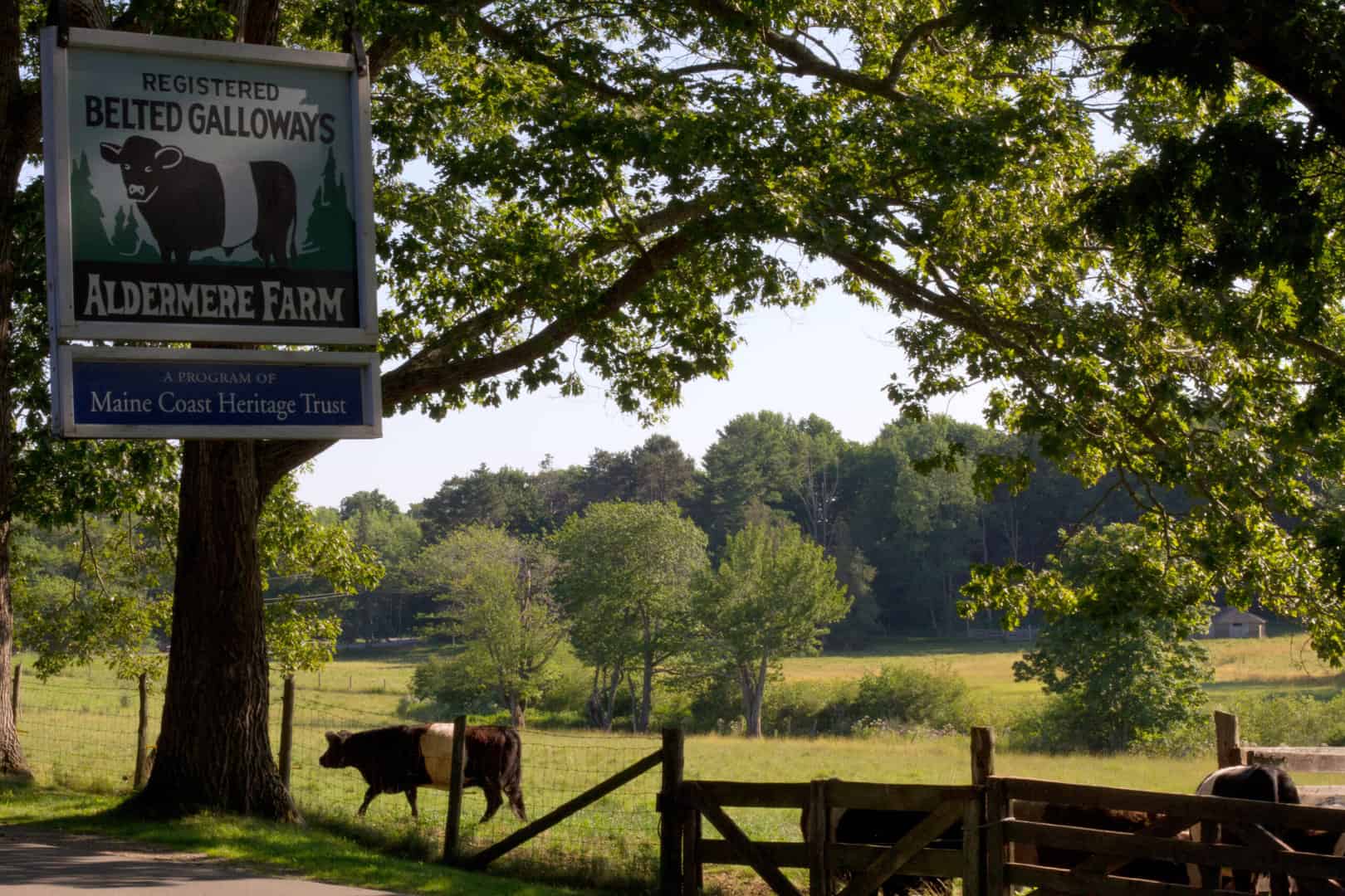
MCHT's Aldermere Farm raises Belted Galloway cows. Photo courtesy of MCHT
Days 2 & 3: Isle au Haut
Distance: 22NM
On a typical SW summer breeze day you’ll have a lovely broad reach either around the north side of North Haven or through the Fox Island Thorofare, then across Isle au Haut Bay. Pick up a rental mooring/anchor in either the Isle au Haut Thorofare or in Laundry Cove to the north. Hike the trail through a magnificent Pitch Pine forest to the top of Champlain Mountain and visit the historic church.
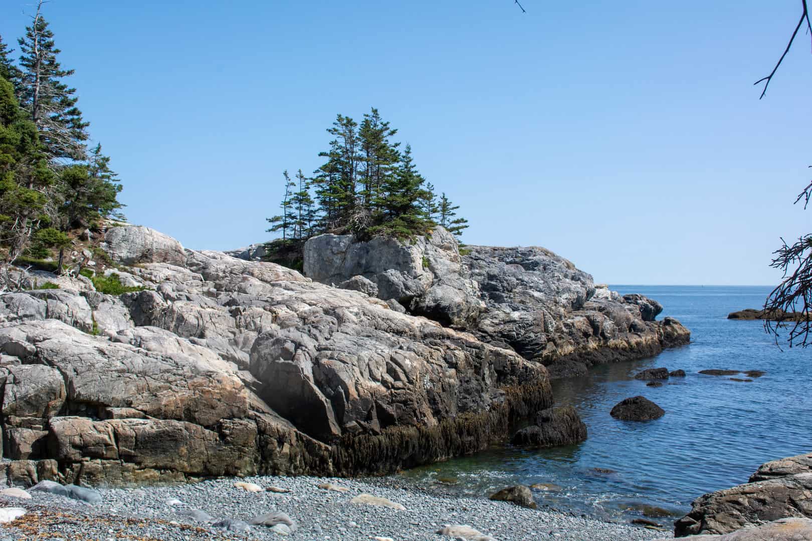
Weather permitting, move (approx. 3 miles) to Duck Harbor and anchor there as far in as there is adequate depth and swinging room. Dinghy to Acadia National Park’s float and access the many hiking opportunities available. This writer particularly likes the hike around Western Head.
Days 4 & 5: Northeast Harbor
Distance: 25NM
It doesn’t get much more beautiful than a sail through the Merchant Row archipelago, across Jericho Bay, through the Casco Passage, across Bass Harbor Bar and up the Western Way to Northeast Harbor with many day anchorages available along the way for a lunch break and swim. From the marina in NEH you can access all of the MDI trails in Acadia National Park either by walking to nearby trailheads or riding the free Island Explorer bus system. You may want to extend your stay here….
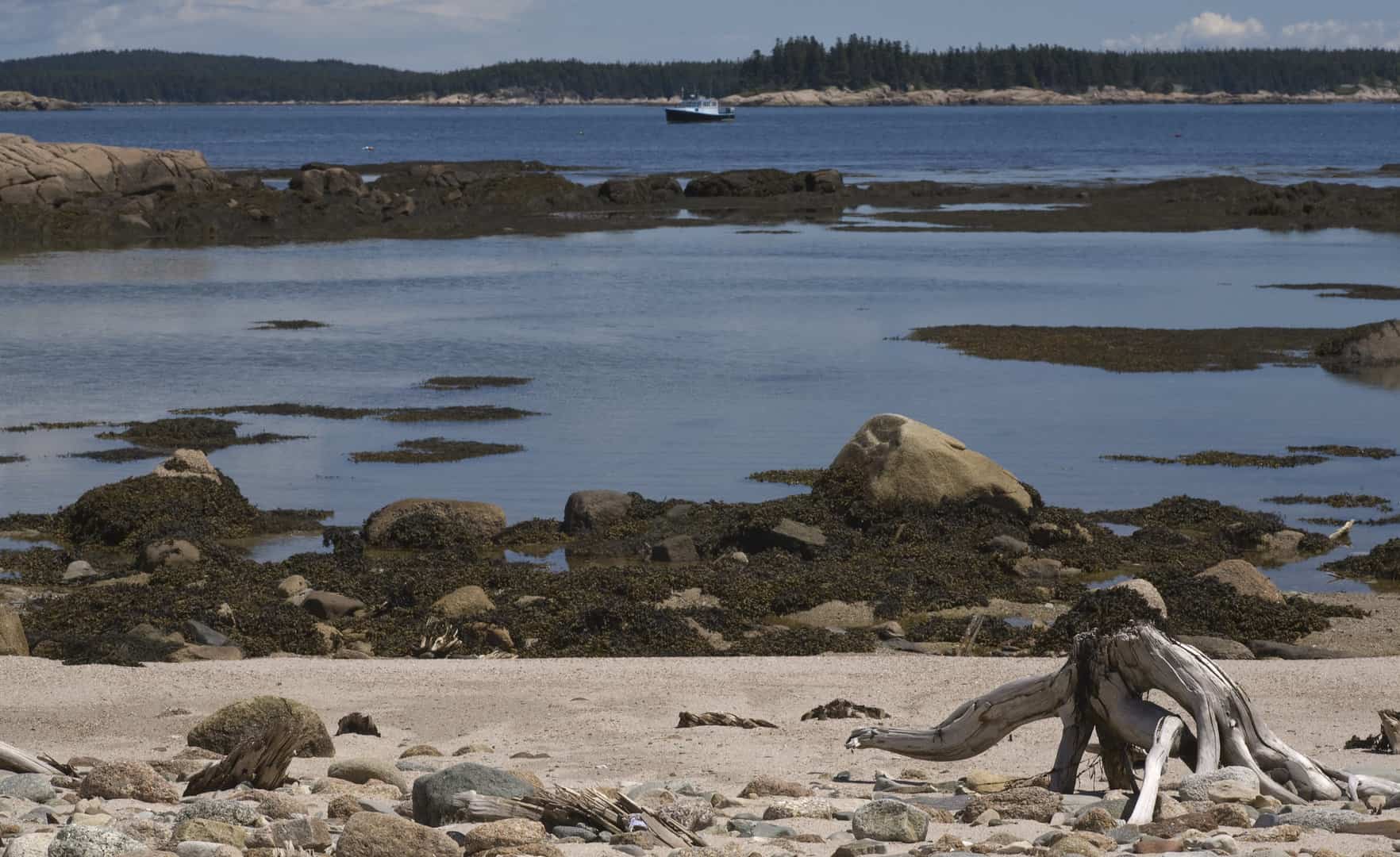
Days 6 & 7: The Mudhole, Great Wass Island or Mistake Island
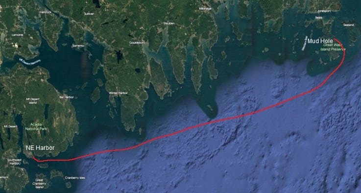
Distance 37NM
This passage will take you past Schoodic Peninsula, Petite Manan Island, and the magnificent rocky cliffs of Great Wass Island. Be sure to time your arrival such that the tide is sufficiently high for your vessel to enter the snug Mudhole anchorage. The next morning, hike the Nature Conservancy trails using the access on the south side of the anchorage. Be sure to hit Little Cape Point for a snack stop or picnic lunch. Remember about the tide when planning your departure.
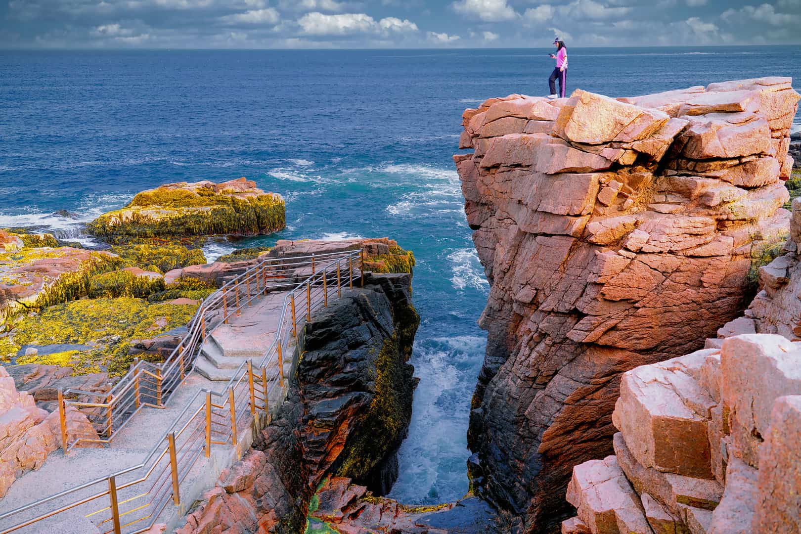
If the tide isn’t right for the Mudhole, anchor instead in Mistake Island Harbor. Dinghy ashore to the access ramp (be careful, it is very slippery) on Mistake Island and walk the short trail to the Moose Peak lighthouse. Bring a picnic lunch. You can walk back along the SW shore but will need to find the unmarked trail which traverses the last hundred yards or so. Views and geology are spectacular.
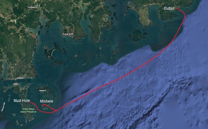
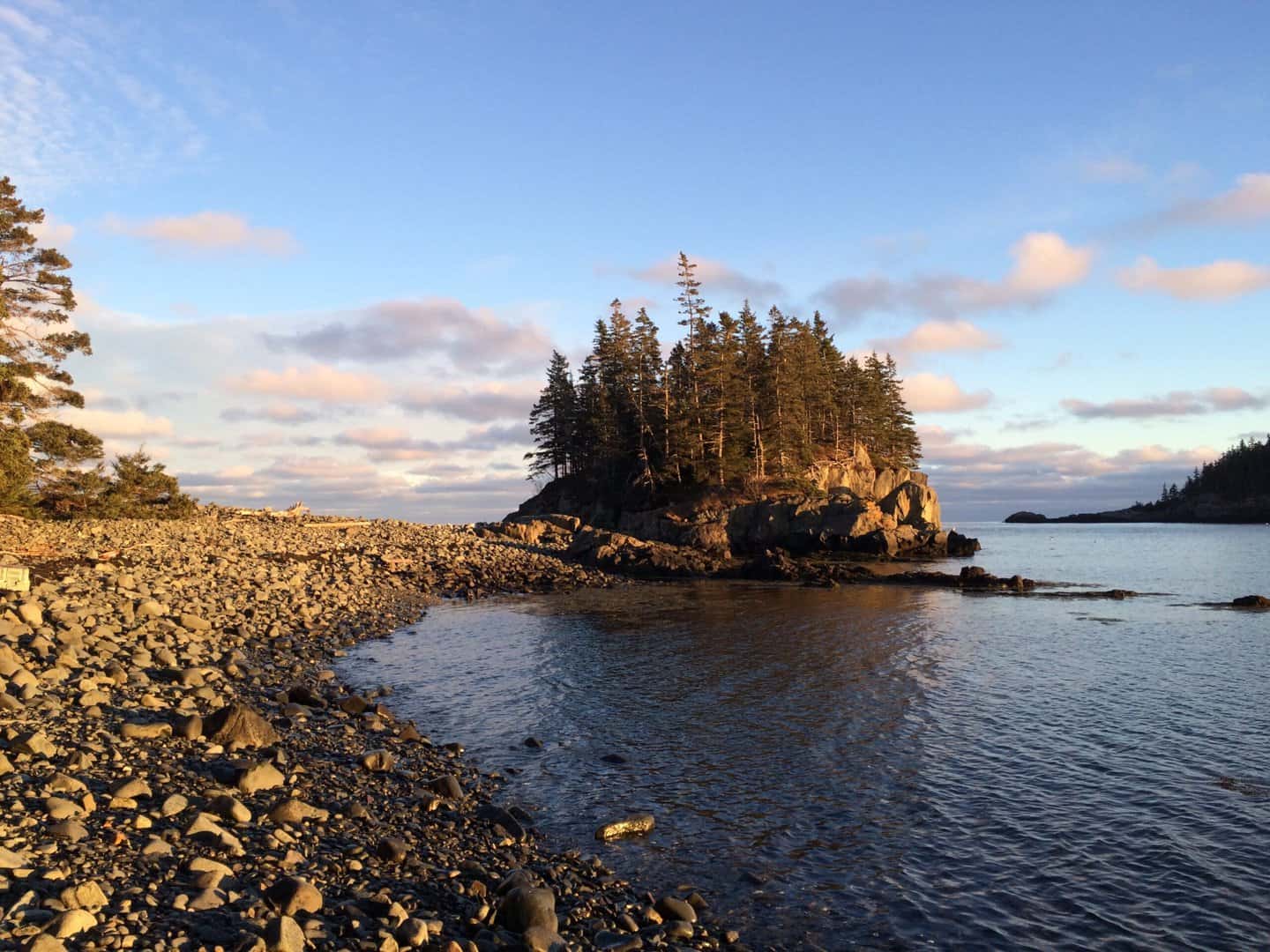
Days 8 & 9: Cutler
Distance 22NM
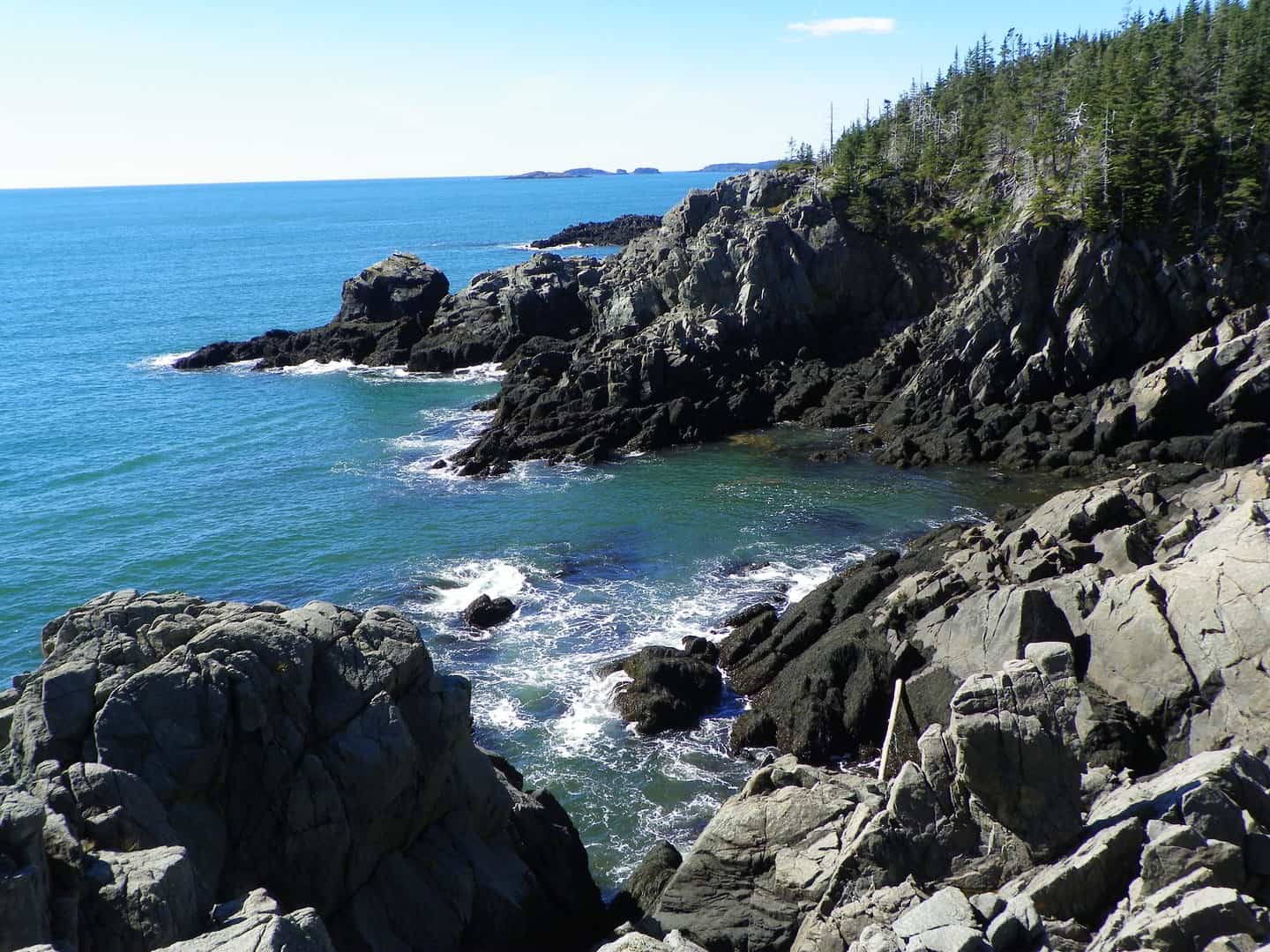
Cutler is the last harbor before the Canadian border and is both scenic and well protected. Maine Coast Heritage Trust has two preserves here, Eastern Knubble and Western Head, both with lovely hiking trails. If you don’t have time to hike them both, I recommend the Western Head trail which traverses spectacular ocean cliffs.
Day 10: Roque Island
Distance 17NM

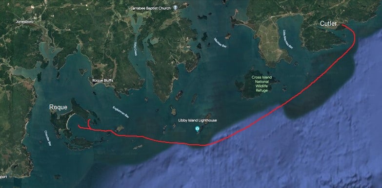
Start your return trip with a short leg to Roque Island. If the weather forecast calls for a strong SW breeze and it will be against the tide, you may want to depart in the AM before the sea-breeze comes up in order to avoid the rough seas that these conditions can spawn. Rather than taking the direct route, consider (if conditions permit) transiting the Cross Island Narrows passage into Machias Bay and from there passing through the various islands before anchoring off the Great Beach in Roque Island Harbor. Walk this truly beautiful singing-sand beach and swim. If there is surge at the Great Beach, you may want to move to one of the other anchorages (Lakeman Harbor, Bunker Cove, or Shorey Cove) for a quieter night.
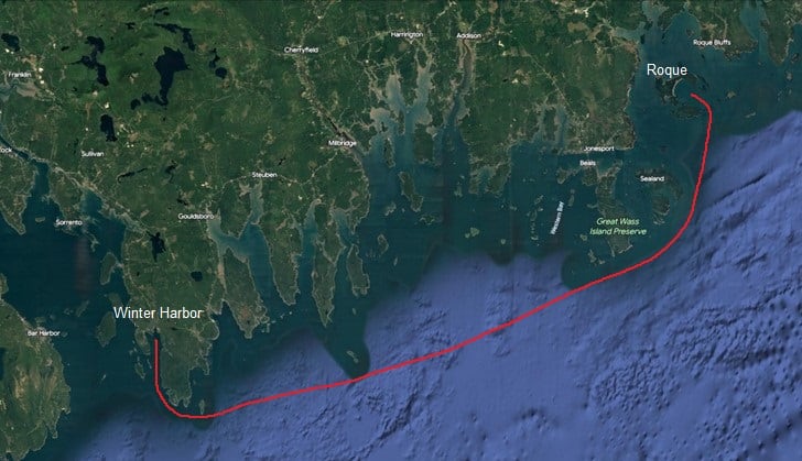
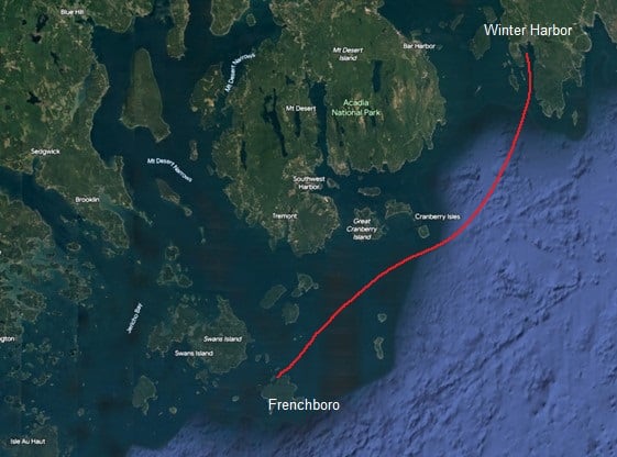
Days 10 & 11: Winter Harbor
Distance: 36NM
This is a long leg and likely to be hard on the wind. If you don’t mind using your engine, an early morning departure before the wind fills in can make this leg much easier. It can be broken up with an overnight stop at either Cape Split or Trafton Island if you have the time. In Winter Harbor, you can access the many hiking trails of Acadia National Park on Schoodic Peninsula via the Island Explorer bus system. Again, you may want a longer layover here.
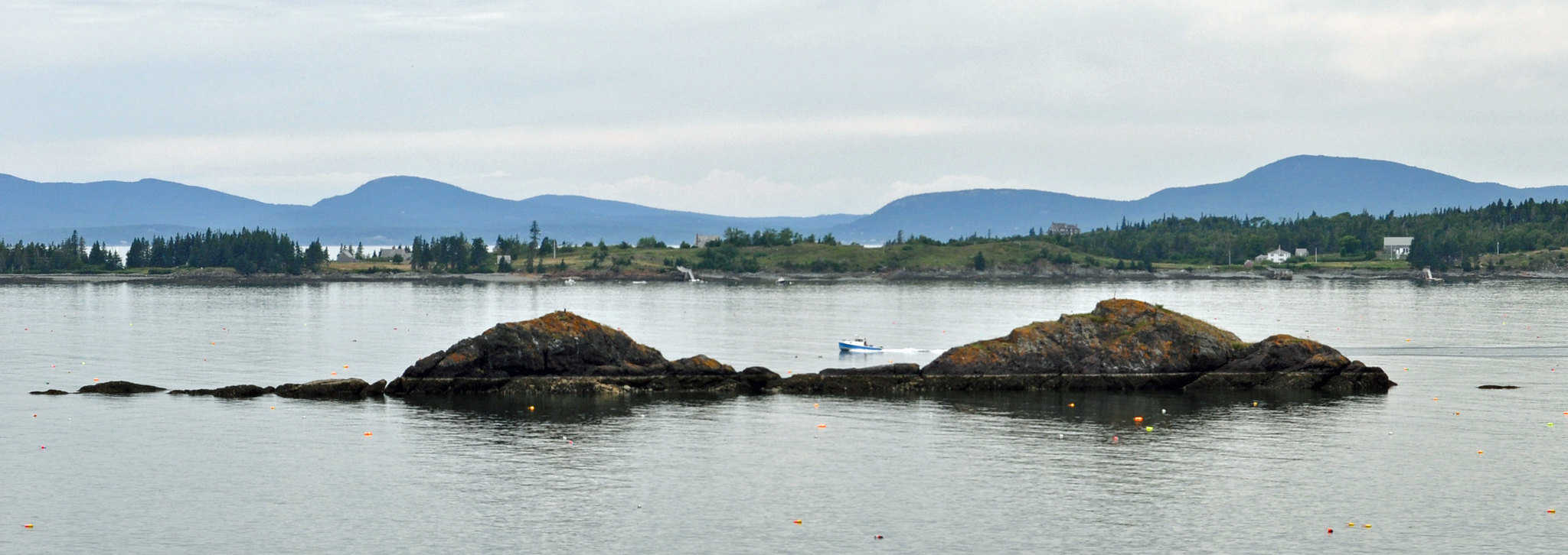
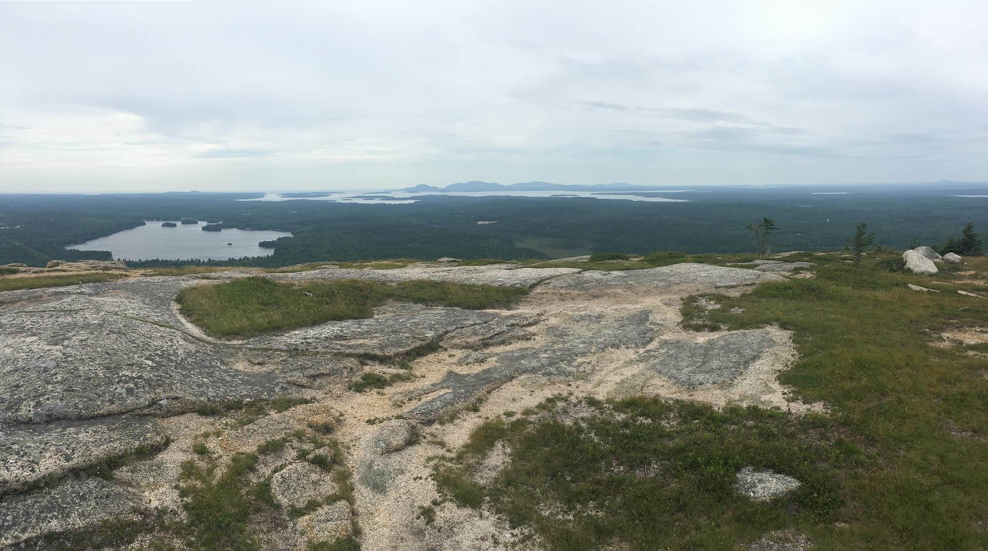
Days 12 & 13: Frenchboro, Long Island
Distance: 20NM
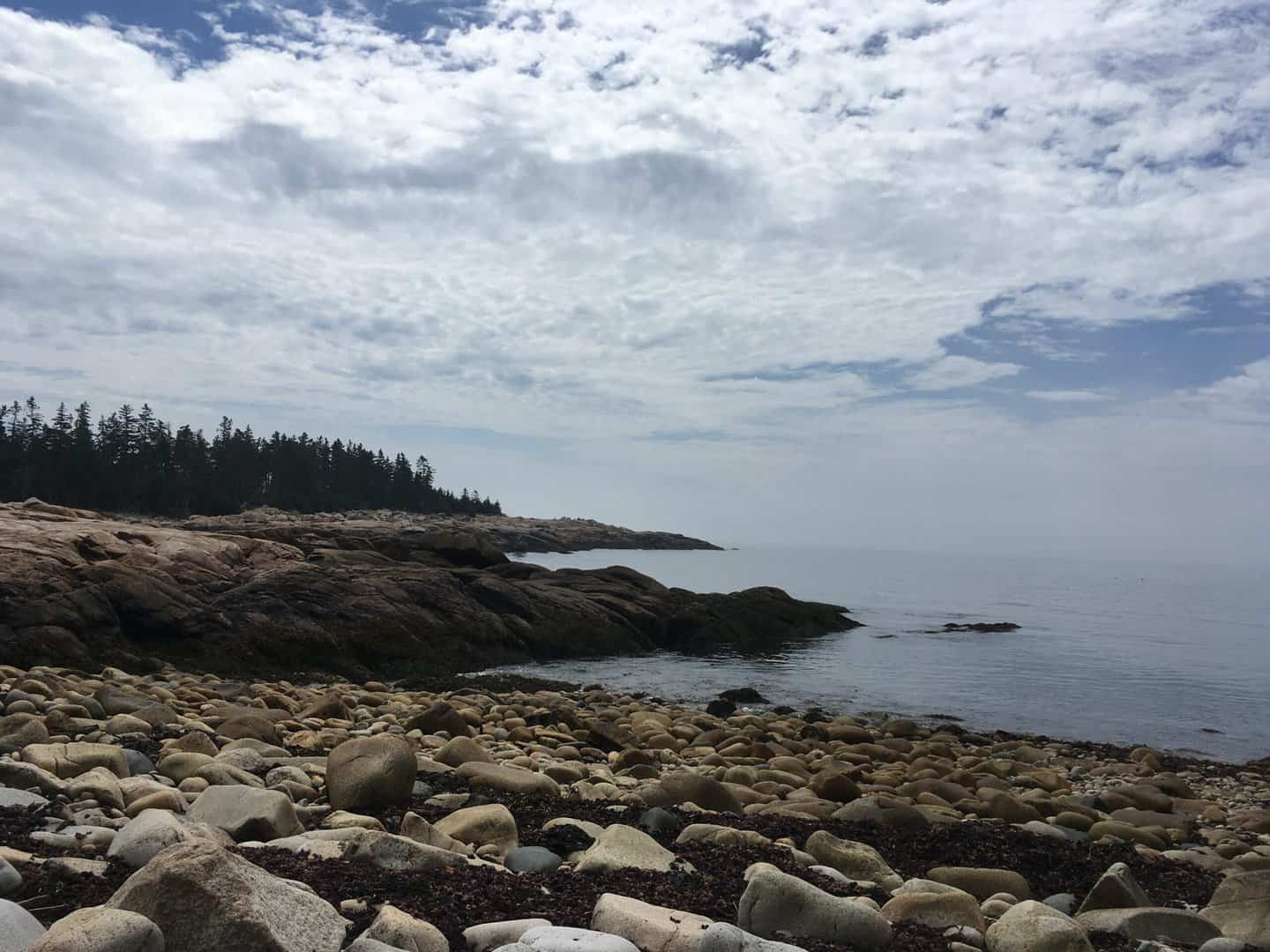
This leg will likely be a lovely beat with views of Mount Desert to starboard. Most of Long Island is owned by Maine Coast Heritage Trust and it maintains an extensive network of hiking trails passing through thick woods and along rocky shores. These can be accessed from this quaint fishing harbor. In the right conditions, using Eastern Cove as a day anchorage and dinghying ashore to hike the trail around Richs Head is a wonderful option.
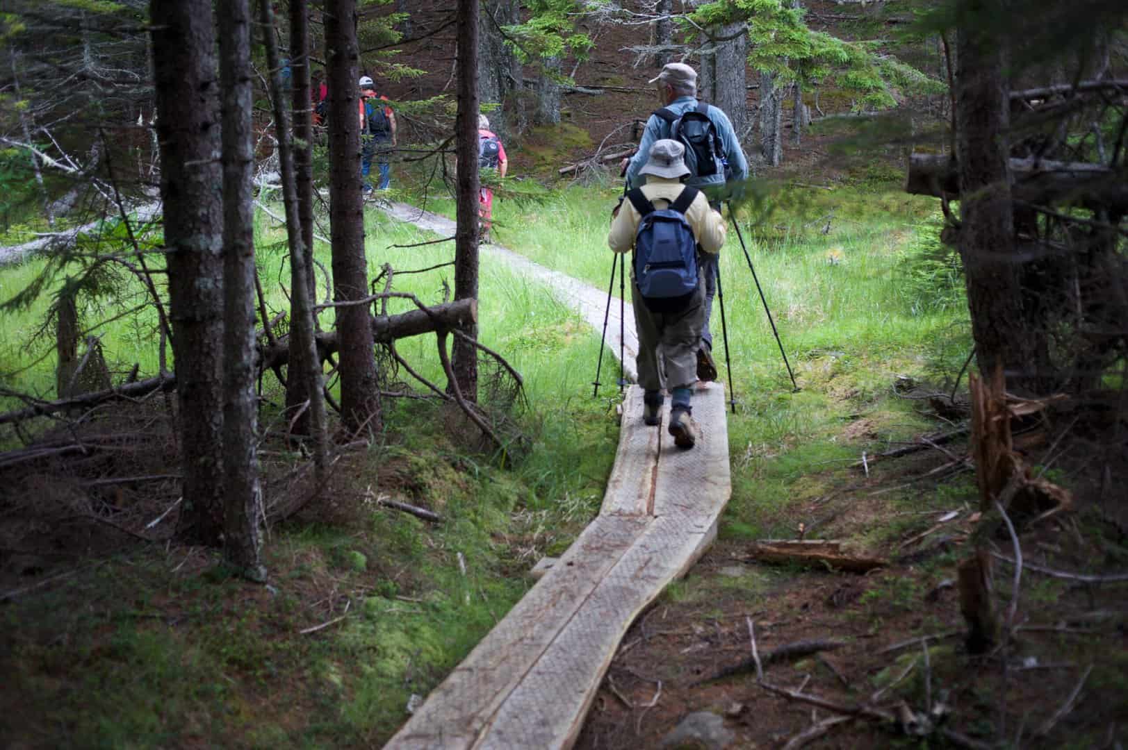
Along the trail/ photo courtesy of MCHT
Day 14: Camden
Distance: 33NM
In normal summer SW wind conditions this should be a close reach through some of Maine’s most beautiful scenery.